Here is the gravity map that NASA made of the Mars surface
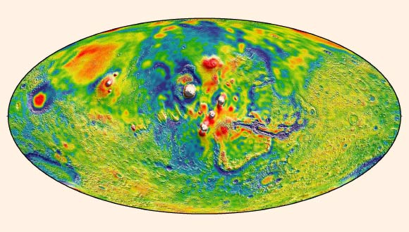
The white areas apparently represent the higher gravity places on this surface. Here is a bit more on what they had to say:
The high resolution of the map suggests a new explanation for how some features formed across the boundary that divides the relatively smooth northern lowlands from heavily cratered southern highlands.
And here is another and related cool factoid from their research:
Finally, by observing how the gravity of the Red Planet changed over 11 years – the period of an entire cycle of solar activity – they inferred the massive amount of carbon dioxide that freezes out of the atmosphere onto a Martian polar ice cap when it experiences winter.
We expect even more detailed maps to come out as they analyze the data.
thanks to sci-news.com for the great info
Image credit: MIT / UMBC-CRESST / GSFC
Who is “Mar” and does s/he possess the gravity, as suggested by the possessive form?
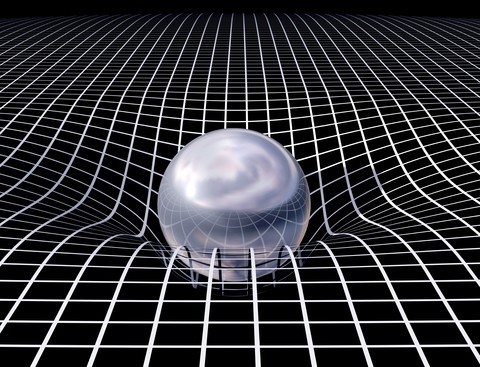
Gotta love these inaccurate depictions. As if space is a trampoline with a bowling ball sagging in the center. *smh*
James A Stoudemire Jr…..I kinda was talking about this yesterday! How gravity effects space!